
Open SourceFree Tool
002
Category
Compare 3 Geographical Information System (GIS) tools collected by AiFolder. Review what each product does, follow verification signals, and open related options before choosing a tool for your workflow.

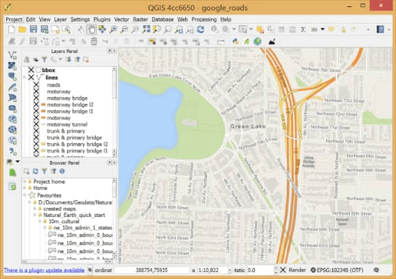
QGIS is a user-friendly open-source Geographic Information System (GIS). With QGIS, you can create, edit, visualize, analyze, and publish geospatial information. It runs on Linux, Unix, Mac OSX, Windows, and Android and supports numerous vector, raster, and database formats and functionalities.
3 listings match this category. This result page includes Leaflet, Mapbox, QGIS. Open a listing to inspect its description and destination.
Shortlist products by the task and output you need, then check their official sites for the current features and pricing. A category match does not mean all listed products have identical capabilities.